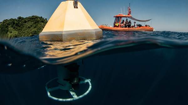
When scientists need to track ocean acidification, no single instrument can do it all. The right choice depends on a fundamental trade-off: moored buoys deliver continuous, real-time measurements from one fixed spot; ship-based sampling maps conditions across broad regions and multiple depths at discrete moments; and satellites offer a wide, repeatable view of ocean chemistry, including in places researchers can rarely reach. According to NOAA's Ocean Acidification Program, the time series buoys create are "key to understanding how ocean chemistry is changing over time," while research cruises collect information "about a certain ecosystem or area of interest."
A management guide from U.S. coastal acidification networks frames the same choice in network-design terms: high temporal resolution comes from sensors on fixed platforms, while high spatial resolution comes from cruises and underway sensors on ships. Here is how the three primary methods compare, and how to pick among them.